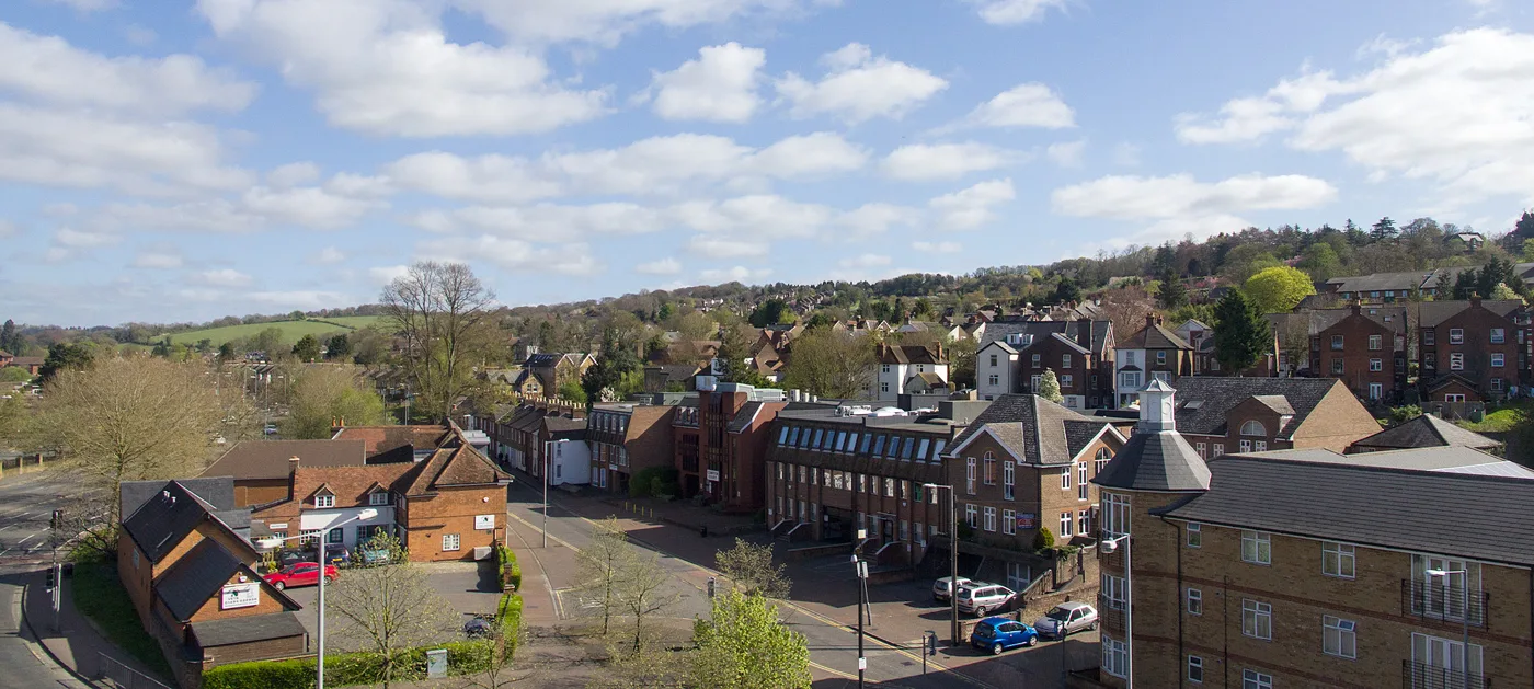

Cabinet decides on 10 November whether Temple End, Gordon Road, more of London Road and the cemetery join High Wycombe's conservation area. Nothing is removed.
Four parts of High Wycombe are set to join the town’s conservation area, including the Victorian terrace on Temple End and the streets around the Gordon Arms. Buckinghamshire Council’s Cabinet is asked to adopt the new boundary on Tuesday 10 November.
Nothing is being taken out. The council’s report to Cabinet also merges four separate conservation areas into one.
The four additions
The appraisal, written for the council by heritage consultants Purcell, sets out the reasons for each.
- The south end of High Wycombe Cemetery. The cemetery on Amersham Hill opened in 1855, when All Saints’ graveyard was full. The southern part has flint walls, a Victorian lodge and ornamental gates. The later, northern part stays outside.
- Temple End and the former police station. This takes in the brick viaduct over Frogmoor and Temple End, early 19th century houses on the east side, and numbers 28 to 70, a terrace of workers’ cottages built before 1876, probably for the Temple Works chair factory. The 1876 county police station, later a magistrates’ court, is included too.
- Totteridge Avenue and Gordon Road. Late Victorian houses built as the railway and the furniture trade grew the town, plus the Gordon Arms and its bow window, the green between Bowerdean Road and Gordon Road, and two small early 20th century furniture factories behind the houses. The appraisal says one of them may still be in use.
- London Road east and the cricket club. The boundary runs further along London Road to take in late Victorian and Edwardian villas, and the cricket ground by the Rye, where a pitch and pavilion appear on late 19th century Ordnance Survey maps.
The appraisal is frank about Gordon Road. It says there is “a relatively high level of inappropriate alterations” there, mainly uPVC windows, new doors and front gardens turned into driveways.
One area instead of four
High Wycombe has had four conservation areas side by side. The report says they were last reviewed in:
- 1986: Wycombe Abbey
- 2011: High Wycombe
- 2012: Amersham Hill and Priory Avenue
They become a single High Wycombe Conservation Area with one management plan. Leigh Street Conservation Area, west of the town centre, stays separate because of its distance from the centre.
The wards affected are Abbey, Marsh and Micklefield, Terriers and Amersham Hill, Totteridge and Bowerdean, Disraeli, and Downley.
What residents said
A six-week consultation ran from 2 March to 12 April 2026, with two drop-in events at the Guildhall. It drew 24 responses. The council’s survey summary gives the split on each addition:
| Proposed addition | Agree or strongly agree | Disagree or strongly disagree | Neither, don't know or not answered |
|---|---|---|---|
| South end of the cemetery | 18 | 0 | 6 |
| Temple End and the former police station | 13 | 1 | 10 |
| Totteridge Avenue and Gordon Road | 8 | 3 | 13 |
| London Road east and the cricket club | 12 | 3 | 9 |
Totteridge Avenue and Gordon Road had the least backing, with more people undecided than in favour. The report says the response “was supportive of the proposals and did not lead to any further boundary revisions”. It says the changes made after consultation were minor.
What it means for you
If you live or own property in one of the four added areas, more work will need planning permission once the boundary is adopted. The appraisal lists the main ones:
- demolishing a building, or a wall over one metre high, gate piers or a chimney
- rendering, painting or cladding the outside of a building
- dormer windows and other changes to the roof
- side extensions, two-storey extensions, and rear extensions over 3 metres on a terrace or semi
- satellite dishes on chimneys or walls that face the street
- solar panels on a wall or roof facing the road
Work on a tree with a trunk 75mm or more across, measured 1.5 metres up, needs six weeks’ notice to the council.
Replacing windows and doors is not on that list. The appraisal says the council could consider an Article 4 direction, which would bring those under control too, but any such step would come “at a future date”, separately from this decision.
The council says that if Cabinet agrees, its heritage team will write to everyone affected by the boundary changes. It is not legally required to.
You can follow other planning decisions in High Wycombe planning news. Wooburn Green’s conservation area is under review at the same time, and comments there close on 29 November: the Wooburn Green proposals.
Sources
- Buckinghamshire Council, report to Cabinet, 10 November 2026: High Wycombe Conservation Area Review, adoption of revised appraisal including amended boundaries and management plan.
- High Wycombe Conservation Area Appraisal and Management Plan, Appendix 1, parts 1, 3 and 4, for the boundary review and planning controls.
- Buckinghamshire Council, Appendix 2, Your Voice Bucks survey results, report created 15 April 2026.
Have your say